| Authors: |
Edwin Donnelly (edwin.donnelly at vanderbilt.edu) Frederic Mothe (mothe at nancy.inra.fr) |
| History: |
2007/10/30: First version 2008/03/10: Improvements by Frederic Mothe:
|
| Limitations: | Requires 8-bit, 16-bit or RGB image |
| Source: | Polar_Transformer.java |
| Installation: | Download Polar_Transformer.class to the plugins folder, or subfolder, restart ImageJ, and there will be a new "Polal Transformer" command in the Plugins menu, or submenu. |
| Description: |
This plugin will convert images to and from polar coordinates. It assumes that
the polar image uses the y value to represent the angle (theta) and the x value
for r (distance from the center).
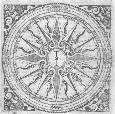
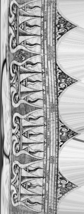
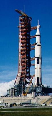
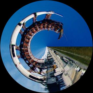
The "180" option assumes that the x values lines in polar space go from -radius to +radius and that there are 180 degrees worth of data (the way a sinogram is stored in computed tomography), while the "360" option assumes that the x values go from 0 to +radius and that there are 360 degrees worth of data (a more intuitive option for other applications). The default setting is that the origin (0,0) of Cartesian space is the center of the image, though there is an option to manually change it. The plug-in produces a 16-bit grayscale image for 8 or 16-bit grayscale inputs, and an RGB color image for RGB inputs. Choosing "polar" will assume that input image is in Cartesian space and will remap it to polar coordinates, while choosing "Cartesian" will assume that the input image is in polar coordinates and will remap it to Cartesian space. By default, when creating a polar map, the plug-in will use 1 line for each degree (either 180 or 360, depending upon the above option) but this can be manually changed. The polar transformation is useful for "unwrapping" images which have a generally round object, while the Cartesian transformation is useful for "bending" images which have a generally linear object.
Original Image (courtesy of the National Oceanic and Atmospheric Administration, NOAA)
After Polar 360 Degree Transform
Original Image (courtesy of the National Oceanic and Atmospheric Administration, NOAA)
After Cartesian 360 Degree Transform |


